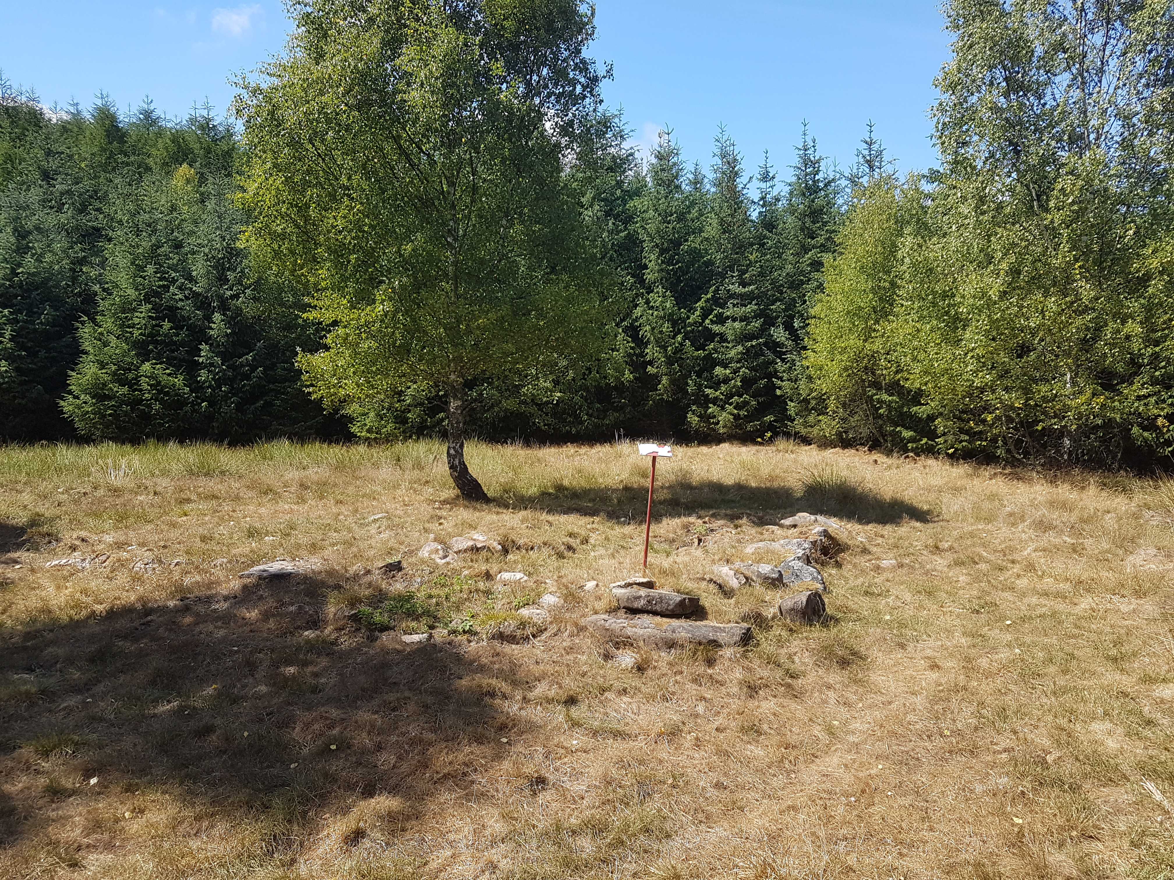
Tranehus
Tranehus, Össjö (L)

The croft was mentioned in the 1760:ies. Was demolished in the 1920s, rocks from the foundation is all that remains. Photo Gunnar Öhrn Jul 14, 2018
Facts:
| Type of place | Croft |
| Latitude, Longitude |
56°15'16.46", 13°04'05.71"
56.25457, 13.06825 |
| Position |
RT90: 6239648, 1330379
SWEREF: 6236091, 380323 |
